
Geovisor makes geophysical services easy to utilize
Our service concept has been created to solve the challenges of exploration. Our task is to make the use of our services easy for our clients. Clients do not have to be experts in geophysical methods. Clients can trust on us to do our best to make their project successful – it’s our common interest.
Our services cover the whole project through geophysical surveys planning, survey contracting, data processing and modelling, as well as the client’s orientation to the results. Prior to the project, we only need some preliminary information about the target. We always keep the client up to date about the progress of the project.
In order to get the most out of the results, if needed, our experts will orientate the client to the used methods and final deliverables.
Geovisor speeds up and facilitates your decision making
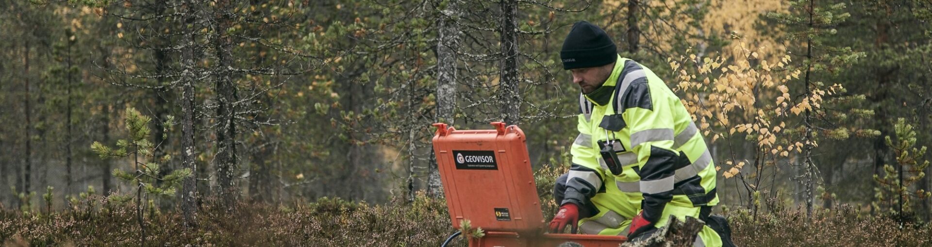
You decide for yourself whether you are paying for raw data, processed data, or modelled data. Raw data is delivered on the same day and processed and quality-assured data usually for the next day. The final schedule of the project is defined by the selected survey methods, survey conditions, and the requested level of final modelling of the data. Our way of operating combines the geophysical surveys effectively into following exploration process. This will allow the client to do the required decisions in time and based on the measured data.
Explore with the same money more and more specifically
Geophysical surveys are quick and inexpensive complementing traditional mechanical sampling e.g. drill coring. On average, at the price of a single average length drill hole, the client will receive areal geophysical survey from a multi-square kilometer area. By avoiding one target missing drill hole, savings covers the entire areal basic geophysical survey campaign.
More information from a single borehole
Borehole TEM, imaging and logging provide valuable additional information of the investigated target. Our extensive method selection provides a method for studying most types of ore deposits. More information is acquired from each hole and possibly less holes are needed, as success percentage of following holes is increased.
Make your designs based on the measured data – start by requesting a presentation visit from Geovisor.